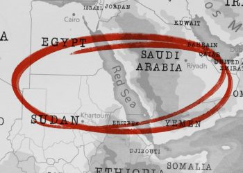


Commercial vessels operating in the Middle East are facing growing navigational risks due to widespread electronic interference, particularly GPS jamming and spoofing, Bloomberg reports.
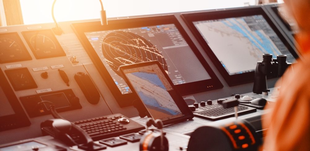
Maritime authorities have reported a surge in false positioning signals affecting ships in the Persian Gulf and eastern Mediterranean, with the Joint Maritime Information Centre (JMIC) confirming that vessels are experiencing severe GPS disruptions. A circular spoofing pattern was observed off the coast of Haifa, indicating deliberate signal distortion, according to commercial tracking platforms.
These incidents come amid heightened regional tensions between Israel and Iran, raising fears of spillover effects on maritime safety. The JMIC, part of the US-led Combined Maritime Forces, has urged ship operators to monitor their navigation systems closely and prepare alternative methods for communication and positioning to prevent potential accidents or misnavigation.
While the Strait of Hormuz remains open to commercial traffic for now, the growing prevalence of electronic interference adds a new layer of complexity to vessel operations in the region, compounding the risks already posed by escalating military activity.
We have reports that more ship owners are now exercising extra caution and are opting to stay away from the Red Sea and the Persian Gulf,
… said Jakob Larsen, chief safety & security officer with shipping association BIMCO, as reported by Reuters.
Furthermore, Greece and Britain have advised their merchant shipping fleets to avoid sailing through the Gulf of Aden and to log all voyages through the Strait of Hormuz following Israel’s attacks on Iran, documents seen by Reuters showed.
Tensions between Iran and Israel have sharply escalated since June 13, 2025, after Israel carried out major airstrikes on Iranian military targets. Iran retaliated with a large missile and drone assault on Israeli cities, leading to civilian casualties on both sides. The conflict has continued to intensify, with daily clashes and mounting international fears of a wider regional war.
Hormuz is a critical waterway, without alternative, for tanker trades and any impediment or threat to free movement of shipping would have a significant effect upon the world’s economy,
… tanker shipping association INTERTANKO said.
Moreover, The India’s Directorate General of Shipping (DGS) has issued an advisory urging all Indian-flagged vessels and Indian seafarers operating at Iranian ports or passing through the Strait of Hormuz to remain cautious and vigilant due to the evolving situation in the region.
Actions to take once GNSS outage/disruption is detected
Britannia P&I Club has advised the following steps if a GNSS outage/disruption is detected:
- Change the ECDIS position (both primary and secondary) and speed input to DR position and log speed
- Identify RADAR-conspicuous objects in the passage plan
- Begin manually plotting the vessel’s position using visual or RADAR means if near land
- Use tools such as RADAR parallel indexing and RADAR overlay on ECDIS to monitor the vessel’s position near land
- Confirm that the RADAR speed input is log speed, if not already set
- Other ships in the vicinity may also be affected by GNSS disruption; navigate cautiously and rely less on AIS information from other vessels
- Turn off AIS overlay on ECDIS if anomalies are observed in the AIS information of target vessels
- Advise the master of the situation. An extra deck officer may be required on the bridge for assistance
- Give wide room to any encountered traffic
- Consider arriving during daylight hours when approaching a port or area known for GPS disruptions
- Report any marine GPS signal disruptions to NAVCEN at https://www.navcen.uscg.gov/report-a-problem
- Alternatively, any GPS disruption can be reported to NATO at https://shipping.nato.int/nsc/page10303037
The Club has also recommended that shipowners and operators develop a response plan for GNSS disruption as part of their Safety Management System.